 Many days have now been spent in the field and in front of the computer! We took delivery of our last batch of LIDAR data a couple of weeks ago and the map is almost complete.
After a few days of field work last weekend the last control locations have been taped. The course setting and vetting team have been pleased with the high standard of the LIDAR based contour and vegetation mapping. See this page for a small sample!
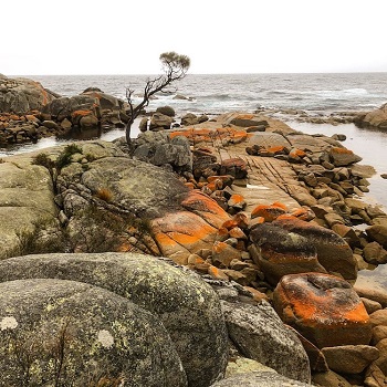
A few photos from our field trips can be found here. As time goes by more will be added. Also check out our Facebook page for information and pics.
